The project bringing space down to earth
Satellites orbit the Earth, collecting vast amounts of data on everything happening on the ground, in the atmosphere, and in space. We know there is a wealth of information that could be incredibly useful – but how do we integrate this data into our own systems so it can be leveraged to benefit researchers and businesses? A new project involving ESS, Lund University, Future by Lund, and PM Digital Management AB is now underway to explore the processing of space data and the infrastructure required to make better use of it.
Finanisär

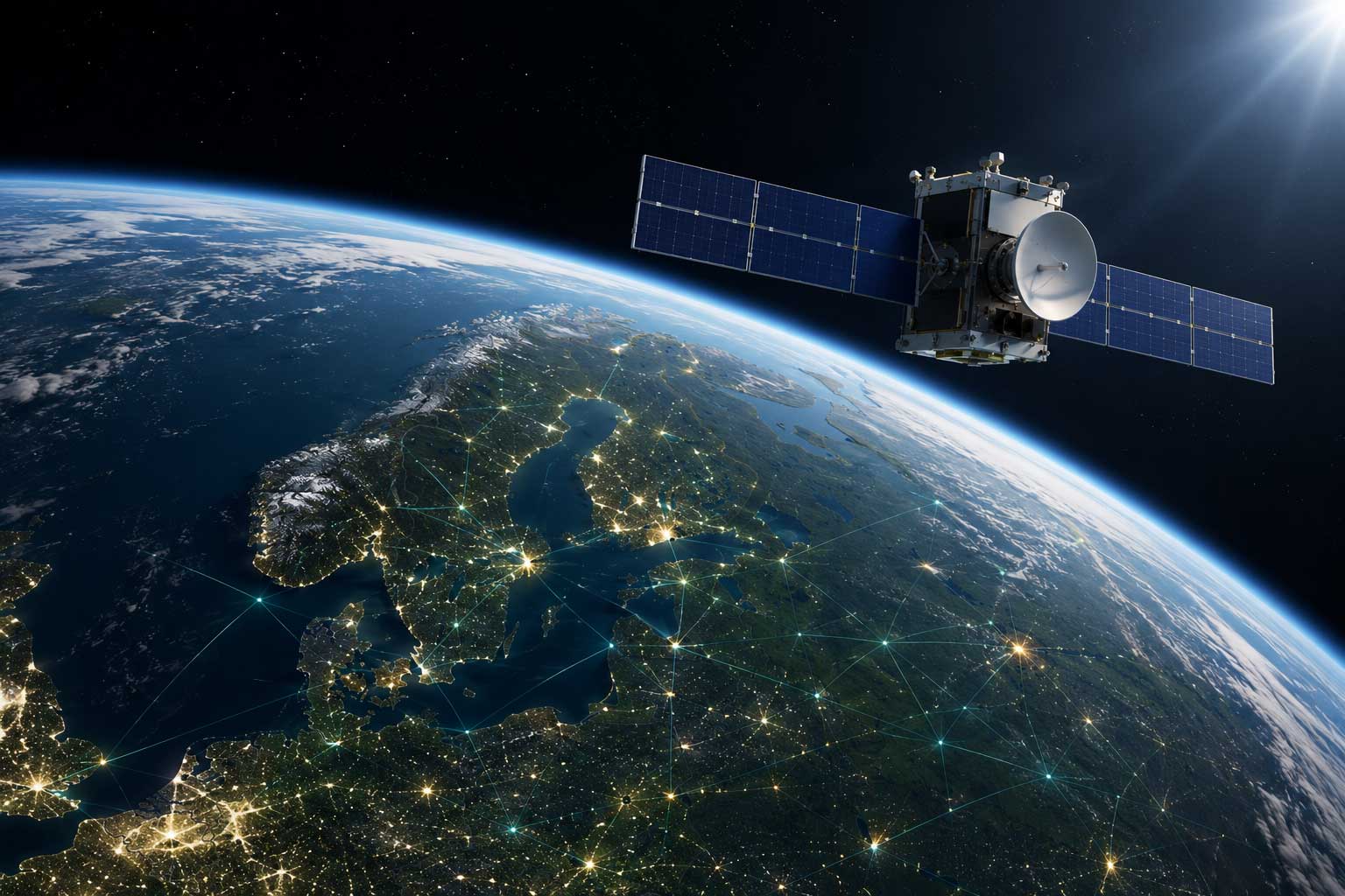
The image is AI-generated.
Satellites collect vast amounts of data about the Earth, equipped with radar, optics, and instruments for various measurements. Space data can be crucial for us because satellite data provides recurring, large-scale, and objective information across time and geography—something local systems alone cannot offer. But what kind of information can we actually obtain?
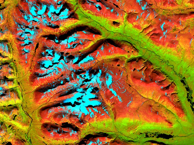
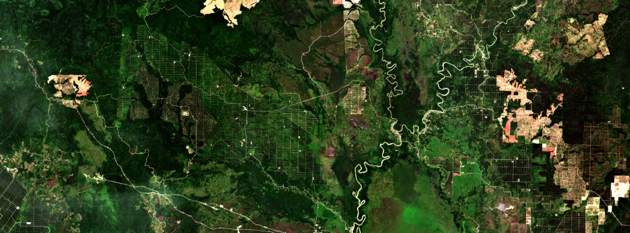
Radar helps us detect movement and displacement, allowing us to see how different things behave—this can range from objects exhibiting large movements (traffic, animals, etc.) to smaller ones, such as minor shifts in infrastructure and buildings. Optics are an effective way to observe the Earth, and a series of images can demonstrate climate change, light pollution, or changes in water or land areas. Some practical examples include seeing the spread of algal blooms, monitoring floods, or detecting changes in forests that indicate bark beetle outbreaks. Satellites can also take measurements of various gas emissions, create heat maps that reveal heat discharge, and even read reflections that can indicate how well plant photosynthesis is functioning.
It becomes especially powerful when combining multiple measurements, which can provide multi-layered information. This can be an effective tool for urban planning or provide a basis for future planning, risk analysis, and security following data on a fire progression.
However, despite the obvious benefits, the comprehensive material from satellites is not always used as effectively as one might wish.
- Space data is like a gold mine and can provide insights into how we solve difficult challenges. Through analysis, one can increase both sustainability and efficiency. A great many values exist, and what is missing are the infrastructures for how we should utilise them, says Magnus Sjöström, PM Digital management.
The Swedish National Space Agency's call for proposals, "Support for project design for the refinement of space data," has provided funding for a six-month project design phase to establish a cross-sectoral consortium and produce a complete implementation application for a subsequent project. Participating in the initial project are ESS, Lund University, Future by Lund, and PM Digital management AB.
The work is based on a concrete and operational need at ESS: to improve the capability for early situational awareness, risk assessment, prioritisation, and follow-up in a complex research infrastructure with very high requirements for operational reliability, security, resource efficiency, and sustainability.
What the project identifies as potentially useful for ESS is obtaining a better decision-making basis to monitor changes in ground, vegetation, moisture, temperature, water flows, logistics exposure, and other environmental factors that can affect operations, maintenance, safety, and environmental performance. Today, data exists in several separate systems and sources. Consolidating these sources could provide better analysis and early prioritisation. The decision-making situations that could be relevant primarily concern the monitoring and prioritisation of risk zones, maintenance planning, environmental and sustainability follow-up, as well as preparedness for deviations or disruptions in and around the facility.
The project will define how satellite data can be combined with local operational and maintenance data, geodata, and meteorological data to create a viable concept for operational decision support. By using satellite data as a significant part of the solution, the project can define indicators and data flows that provide added value in the next phase and create a strong foundation for a larger implementation application.
– Given the high demands placed by Swedish authorities on how ESS is to be operated, having a consolidated data overview that can serve as future decision support is invaluable. This allows us to avoid mismanagement and increased costs, for instance regarding water issues, says Pia Kinhult at ESS.
The societal benefit lies in strengthening the robustness, efficiency, and resilience of a research infrastructure of national and European importance. At the same time, the concept is being designed so that it can be transferred to other large facilities and public operations with similar needs.
– It is important both to be able to retrieve values from the space database and to create the conditions for the retrieved data to be integrated so that the knowledge can be utilised throughout the entire organisation – but also to create a model for other actors who may benefit from space data, concludes Magnus Sjöström.
Refining space data
Partners: Lund University, Future by Lund, ESS, and PM Digital Management AB
Project duration: 5 June 2026 – 18 December 2026
Funder: Swedish National Space Agency
Project manager: Lund University